
Walk a Hallandale Beach Street
A sound street search separates property ownership from physical occupancy. Begin with the address, not a person’s name. The Broward County Property Appraiser, known as BCPA, connects the address to a parcel ID, legal description, current owner, tax-mailing address, exemptions, and deed references. The map then places that parcel among nearby lots. Only after those two checks should names be carried into deed, voter, permit, or historical sources. That order keeps similar unit numbers and people with the same name from becoming false matches.
- Normalize the number, NE, NW, SE, or SW quadrant, street type, and unit. Check the postal form and parcel situs address.
- Search BCPA by address. Save the parcel ID, legal description, owner, mailing address, building details, and current deed reference.
- Open the parcel map. Click lots in street order instead of assuming that a nearby mailing address is an adjoining parcel.
- Use the parcel ID or legal description in Broward Official Records. Match each deed before moving to an earlier owner.
- Add city permits and code cases. Use a lawful voter extract or verified reverse directory only as dated occupancy evidence.
This street-by-street method also works in condominium buildings, but each unit may have its own parcel. A tower footprint can represent many legal units. Search the building address and unit list rather than treating the whole structure as one household.
Hallandale Beach Property Search Fields
The Broward County Property Appraiser Property Search is the main address-to-owner bridge for the Hallandale Beach street directory. Its FAQ confirms four routes: owner last name, street address, legal subdivision, and property ID. Address is the best first route for one building. Subdivision helps when inspecting lots created by the same plat. Property ID is the safest bridge when spelling or street form changes.
| Search field | Input | Best street use | Caution |
|---|---|---|---|
| Owner last name | Name or entity | Find parcels under the same owner | Owner may not live there |
| Street address | Number and street | Open the parcel card | Try without unit if needed |
| Legal subdivision | Subdivision name | Browse related lots | Not a household list |
| Property ID | Exact identifier | Join roll, map, and recordings | Copy it exactly |
View the current BCPA property search before relying on its field layout.
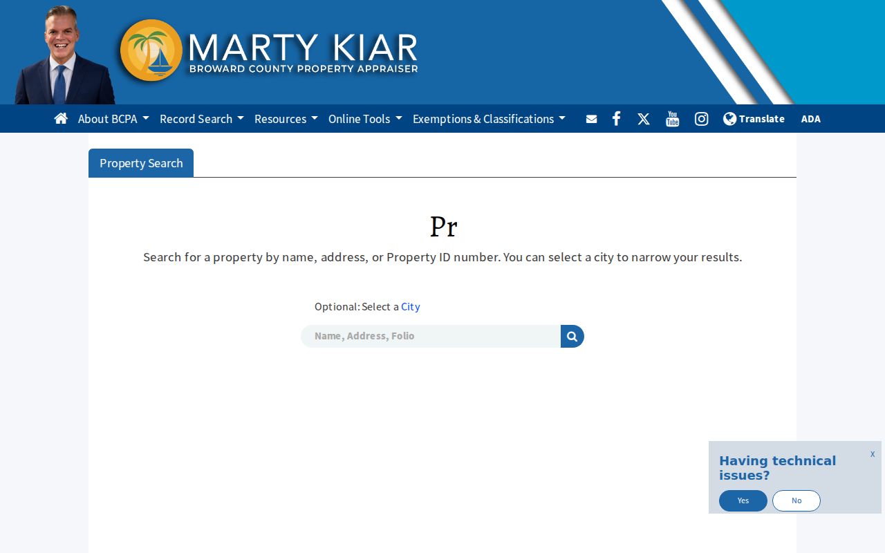
The official screen shows the starting point, not a completed resident list. Save the parcel result with the query date because ownership, mailing data, values, and exemptions can change.
Hallandale Beach Street Record Terms
Several short terms prevent major errors in a by-address search. The physical street label, tax-mail route, and legal land identity are not interchangeable. Define each before joining records from different offices.
- Parcel
- A separately assessed piece of land or condominium unit.
- Situs address
- The parcel’s physical location, which can differ from the tax-mailing address.
- Plat
- A recorded map dividing land into lots, blocks, streets, and other features.
- Criss-cross directory
- A historical directory arranged by street and house number rather than only by surname.
The tax-mailing address can be a useful lead when it differs from the situs. It may point to an owner elsewhere, a trust, a mailing agent, or a second property. It is not proof that the owner lives at either address.
The BCPA search guidance confirms the official owner, address, subdivision, and property-ID routes used in a street directory search.
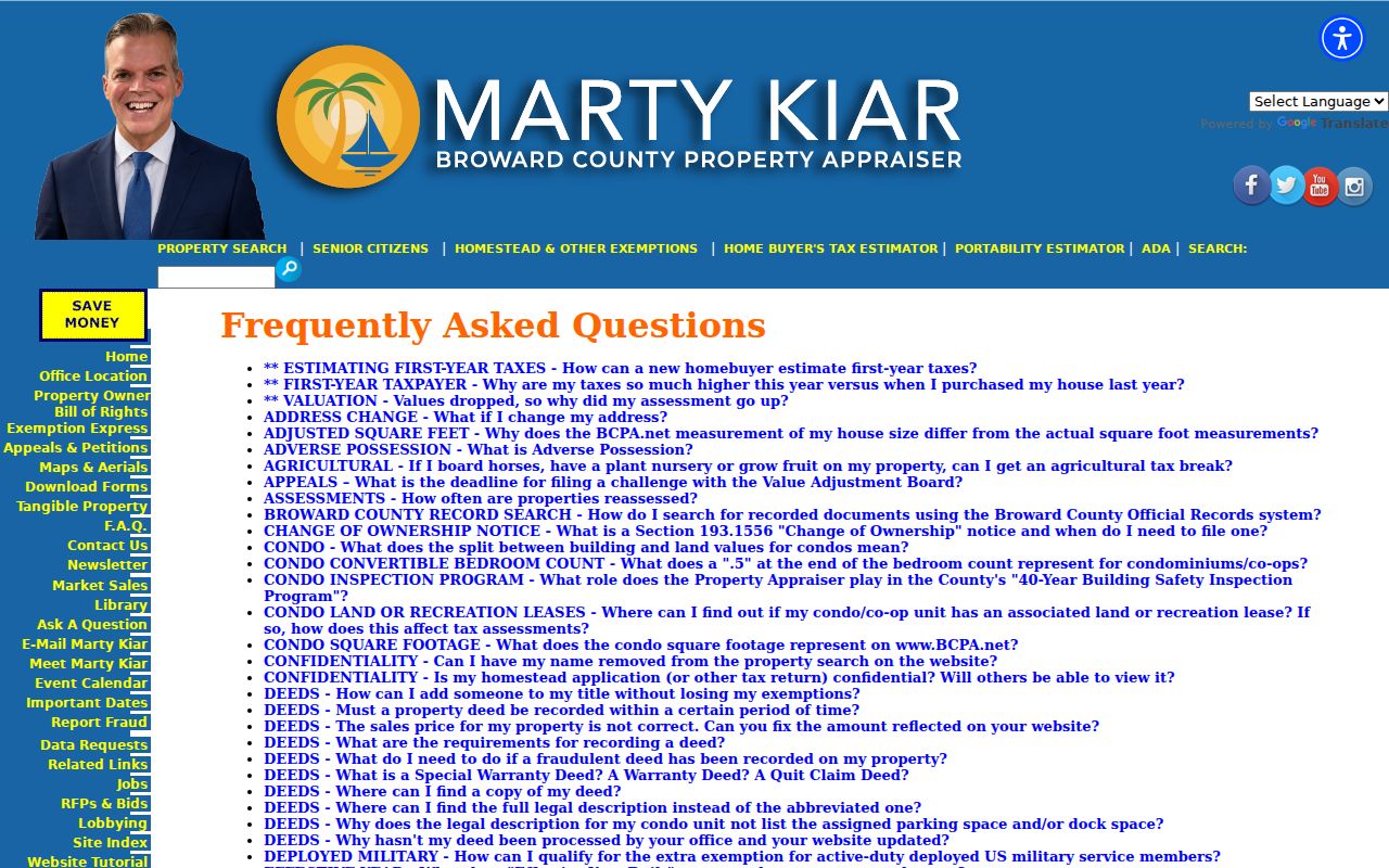
The guidance is useful when a direct address query fails. First remove punctuation or the unit, then try the legal subdivision or exact property ID from another verified parcel record. Do not broaden to an owner name and accept the first hit. A trust, company, or common surname can return land elsewhere in Broward County. Each candidate still needs the matching situs and legal description.
Browse Hallandale Beach Street Parcels
The BCPA Maps and Aerials viewer and Broward County GIS turn one address into a visual street sequence. Locate the first parcel, zoom until parcel polygons appear, select it, and read the pop-up. Then pan along the street and click each polygon separately. Available layers may include municipal boundaries, zoning, flood information, aerial imagery, and districts. Use each layer only for what its legend states.
Geographic closeness does not prove a shared postal street. A parcel across a waterway, alley, or road can look close yet have a different access point. This matters in Golden Isles, Three Islands, and the beach corridor, where waterfront lots and dense condominium sites do not form a simple row of detached homes.
Note: Keep parcel IDs in street order, then open each official card rather than copying names from a map label alone.
Hallandale Beach Records by Street
No official source is a full household roster. The useful address records answer different questions and come from different custodians. A sound Hallandale Beach street directory search dates each result and says whether it shows an owner, filed address, applicant, or listed occupant.
| Address source | Keeper | What it can show | Access route |
|---|---|---|---|
| Property roll | Broward Property Appraiser | Owner, situs, tax mail, parcel, exemptions | Free portal and map |
| Deeds and liens | Broward Records, Taxes and Treasury | Parties, instruments, dates, legal description | Online index; office for older material |
| Permit and code | Hallandale Beach | Applicant, owner, contractor, work, orders | Portal, hearing, or records request |
| Voter file | Florida and Broward elections | Nonprotected registered residence and history | Public extract, not self-lookup |
| Directory and census | Libraries, archives, NARA | Dated listed occupants or households | Collection and schedule access |
The parcel ID and legal description join the first three sources. Street spelling and dates link historical sources. If an online route fails, contact the office with a narrow address, date range, parcel or instrument number, and desired copy format.
Deeds Along Hallandale Beach Streets
The Broward Official Records Search supports party name, book and page, document type, instrument number, case number, consideration amount, recording date, simple search, and parcel ID. Start from the acquisition deed on the parcel card. Confirm grantee, grantor, recording and execution dates, legal description, and parcel before treating it as the same property.
Online chronology is the hard limit. Most recorded documents are fully searchable from July 7, 1977. The March 9, 1972 through July 7, 1977 band has only instrument, book type and page, or recording-date access. Earlier deeds are not on that site. Plats and maps are the exception and remain searchable regardless of date. Carry the last known book and page, party, and legal description to Broward Records, Taxes and Treasury for an older index or copy route.
A mortgage, release, lien, easement, or notice does not itself transfer ownership. A quitclaim deed transfers whatever interest the grantor held, but it does not prove a conventional sale.
Hallandale Beach Street Permit Records
City records add dated snapshots that deeds cannot supply. The Hallandale Beach Building Division links permit applications, status checks, inspections, and property searches. A file may name the address, owner, applicant, contractor, permit number, valuation, inspection dates, and work. All permit documents must go through the online portal, not email.
Review the city’s current permit entry points before searching.
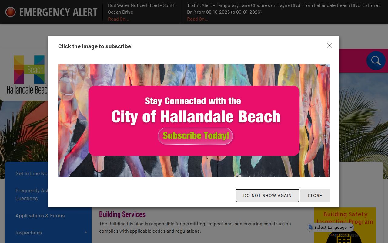
The screen identifies the correct city channel. Its names are project evidence, not proof of a full household.
The city’s FY 2024-25 report counted 4,475 permit applications and 10,744 completed inspections or reinspections. That volume explains why one address can return several projects. Code matters add another route: Special Magistrate hearings are public and may lead to address-linked orders, fines, or recorded liens.
Normalize Hallandale Beach Street Addresses
Hallandale Beach Boulevard is the main north-south divider. Federal Highway, or US 1, is the east-west divider used for NE, NW, SE, and SW addresses. Dropping one directional can send a street directory search to a different parcel. Keep the unit separate, and test the normalized address through postal and parcel sources.
A 33009 mailing label does not prove that a parcel lies inside Hallandale Beach. ZIP areas serve delivery, while city limits control jurisdiction. Check the BCPA municipality field and GIS boundary before requesting city permits or code files. The border with Hollywood, the Miami-Dade and Aventura area, Pembroke Park, and West Park makes that check essential.
Older “Hallandale” references need care. Compare the legal description, plat, and historical map instead of assuming the modern number and city name stayed fixed.
Hallandale Beach Street Occupancy Clues
Property ownership is not the same as residence. A homestead exemption supports owner occupancy for that exemption year, but it does not list every person at the home. Renters and family members may never appear on a deed or parcel card. The Florida voter self-lookup is not a public by-street tool because it requires personal identifying details.
A formal public voter extract may contain name, residence or mailing address, party, registration status and date, precinct, district, and participation history. It never shows ballot choices. Social Security numbers, driver-license or state-ID data, signatures, and protected addresses stay confidential. Missing rows can reflect nonregistration, address protection, or file timing.
For earlier occupants, consult the State Library and Broward collections. Historical volumes are explained on the Hallandale Beach city directories page. Record the volume year because a directory may lag its canvass and omit a whole building.
Hallandale Beach Street Directory Limits
A street directory cannot reveal every renter, child, household relationship, or person physically present. Public motor-vehicle addresses are restricted by the federal Driver’s Privacy Protection Act. Utility, delivery, and subscriber records should not be assumed public. Protected voter addresses and other exempt details are intentionally withheld.
Commercial neighbor lists are compiled estimates. They can lag a move, merge people with the same name, or repeat old addresses. Official records also need context: a permit applicant may be a contractor, a deed party may never occupy the property, and a tax-mailing address may belong to an agent.
Lawful use. Use Hallandale Beach address records for personal research, family history, civic review, and fraud checks. Never use them to stalk, harass, threaten, or harm anyone.
When a record is absent online, ask whether it is exempt, not digitized, archived, or outside the portal date span. “Not found” means only that the exact search and access route produced no visible result.